
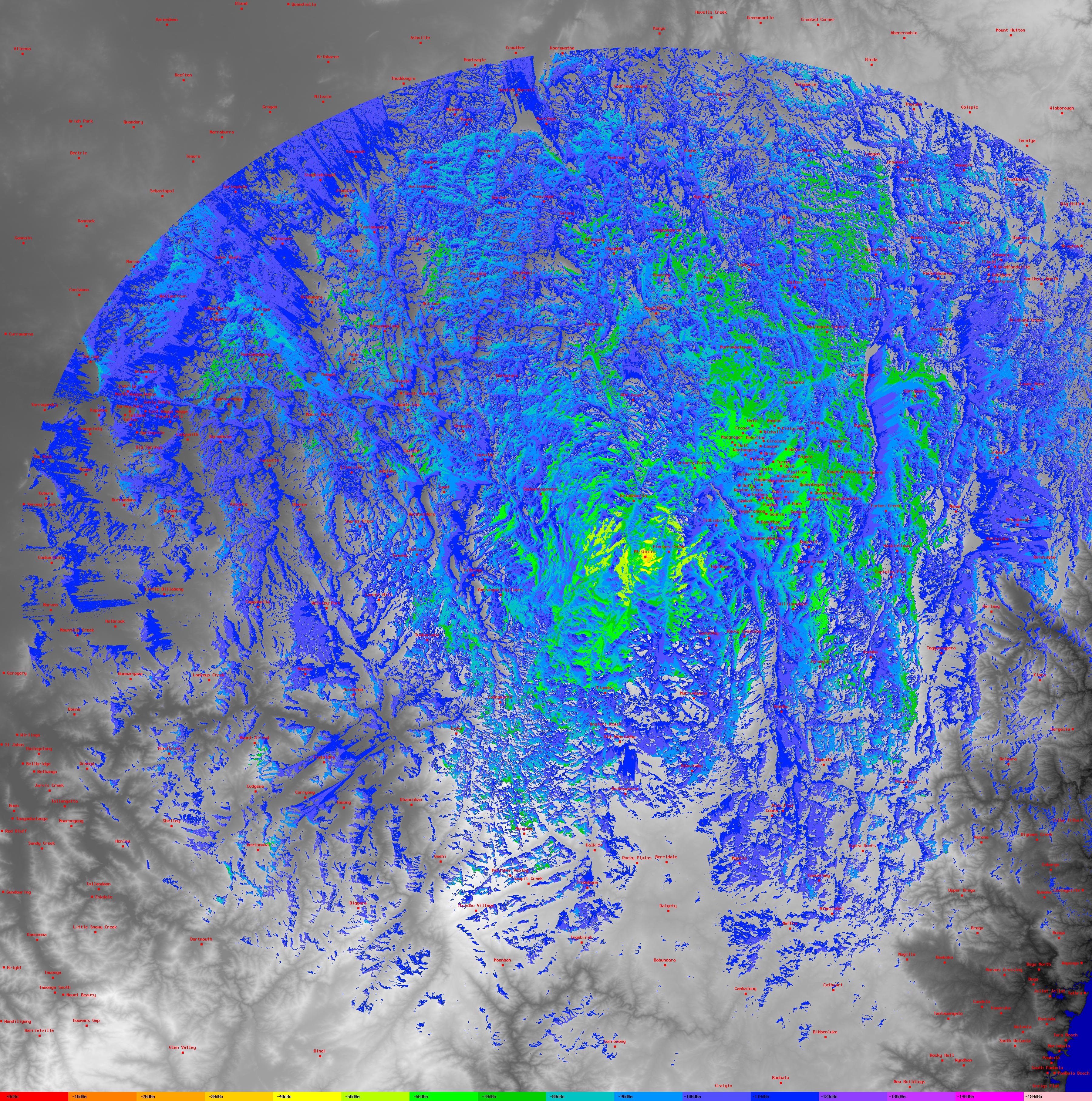
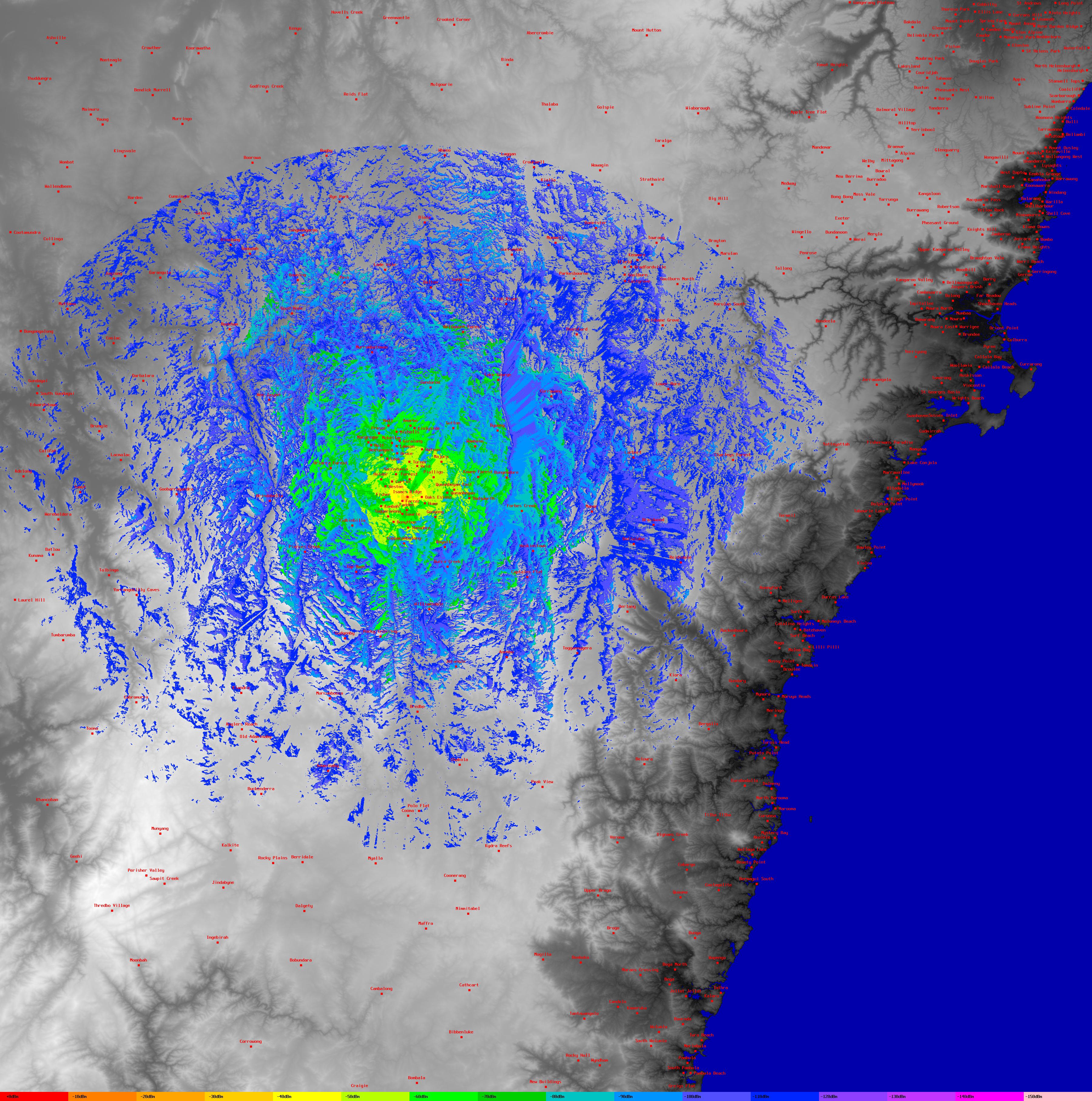
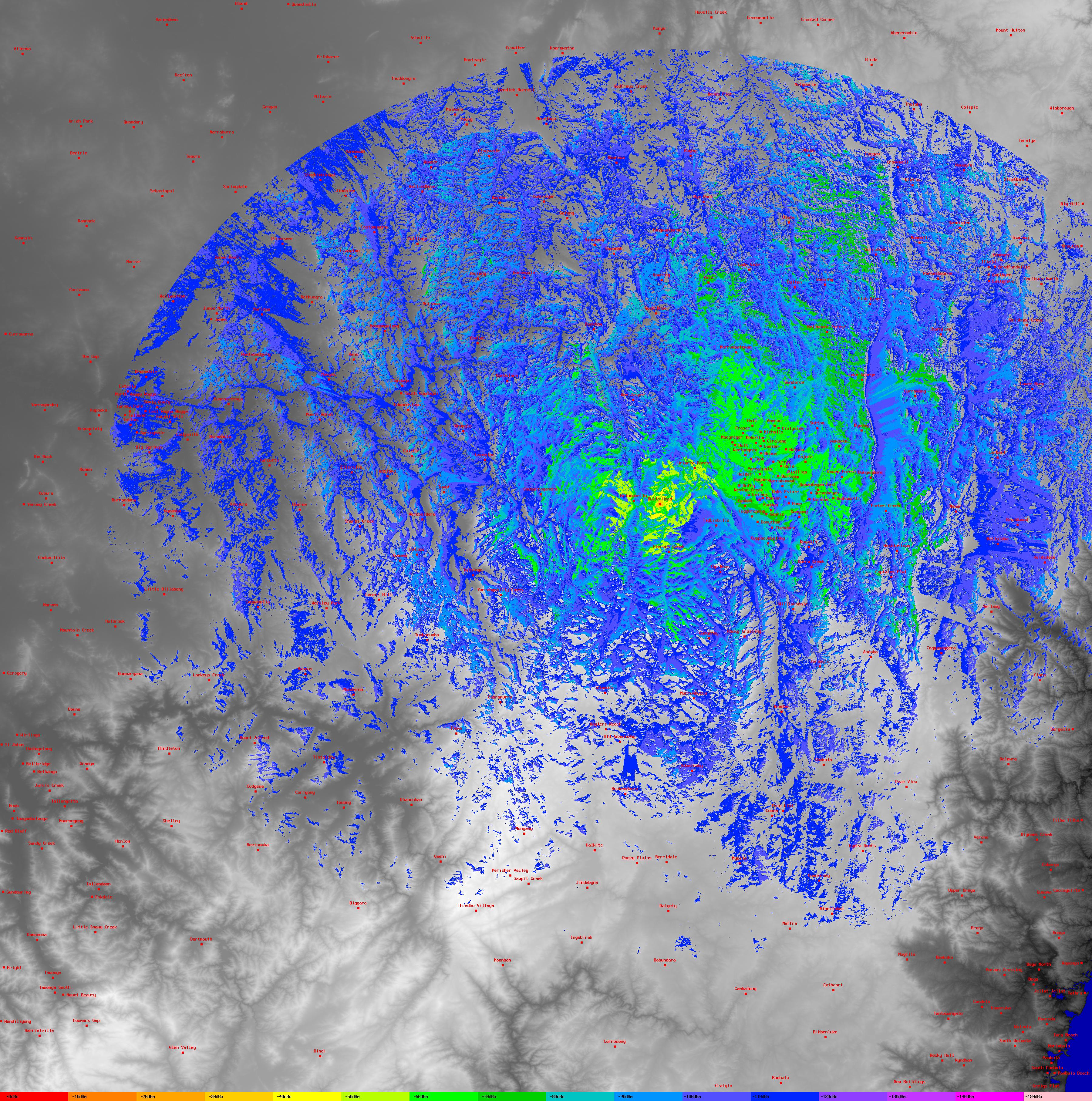
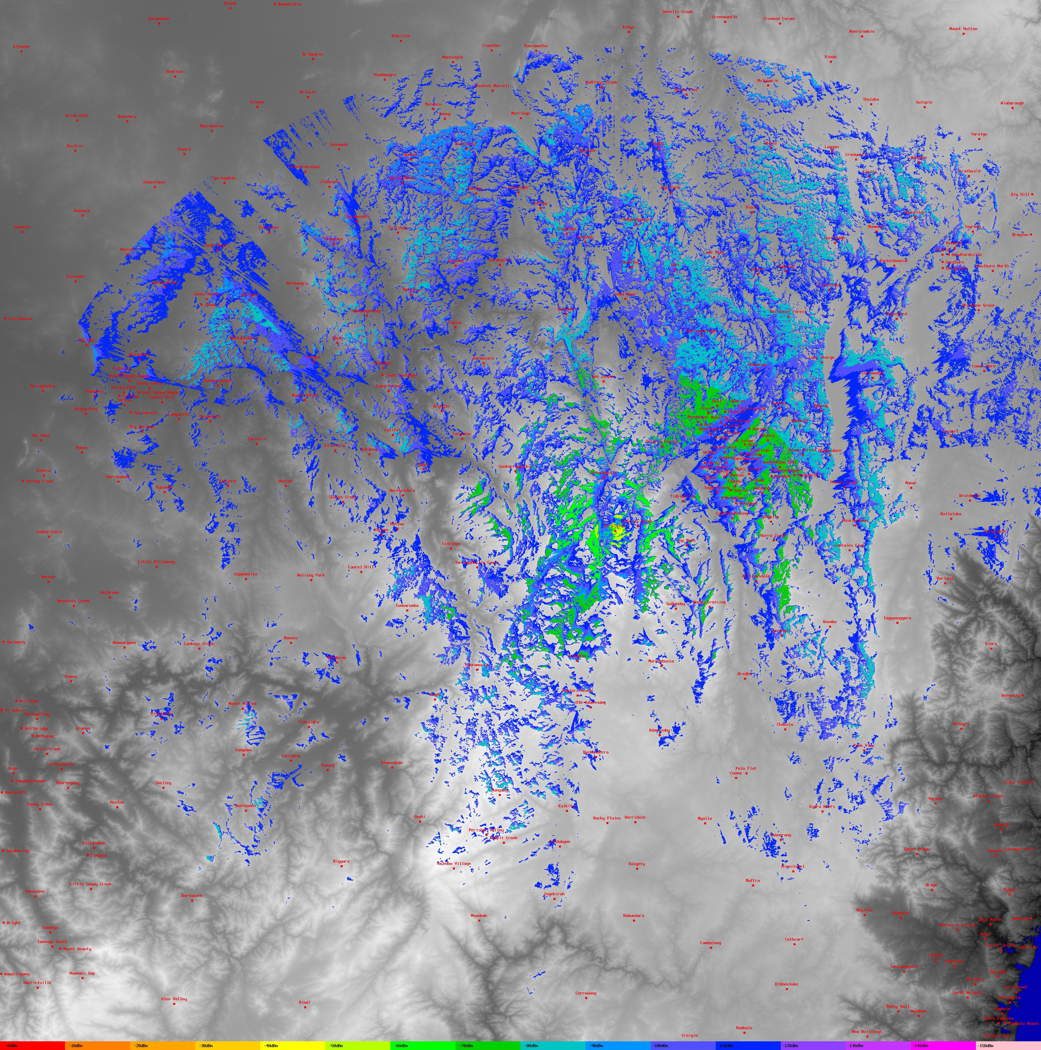
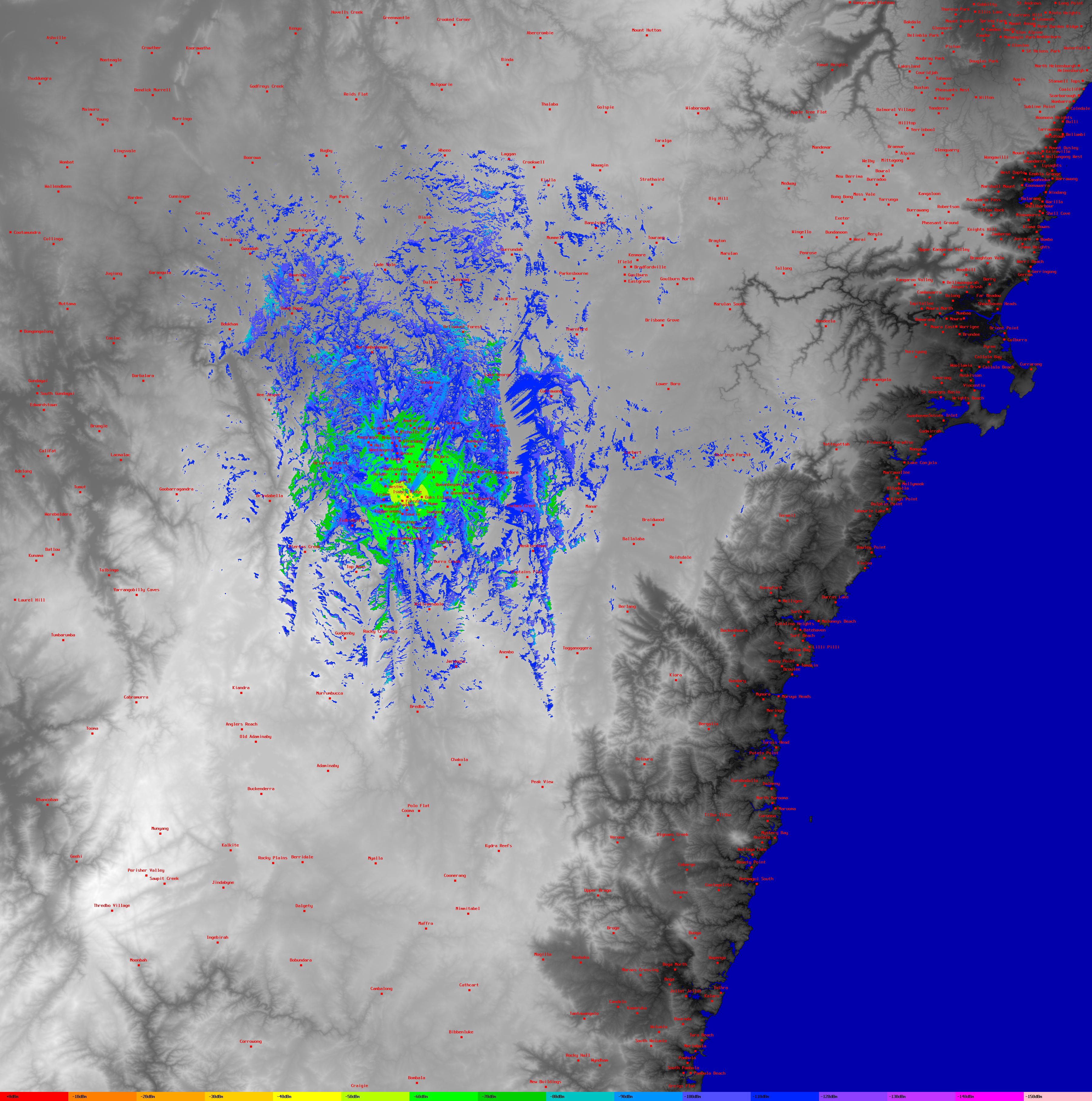
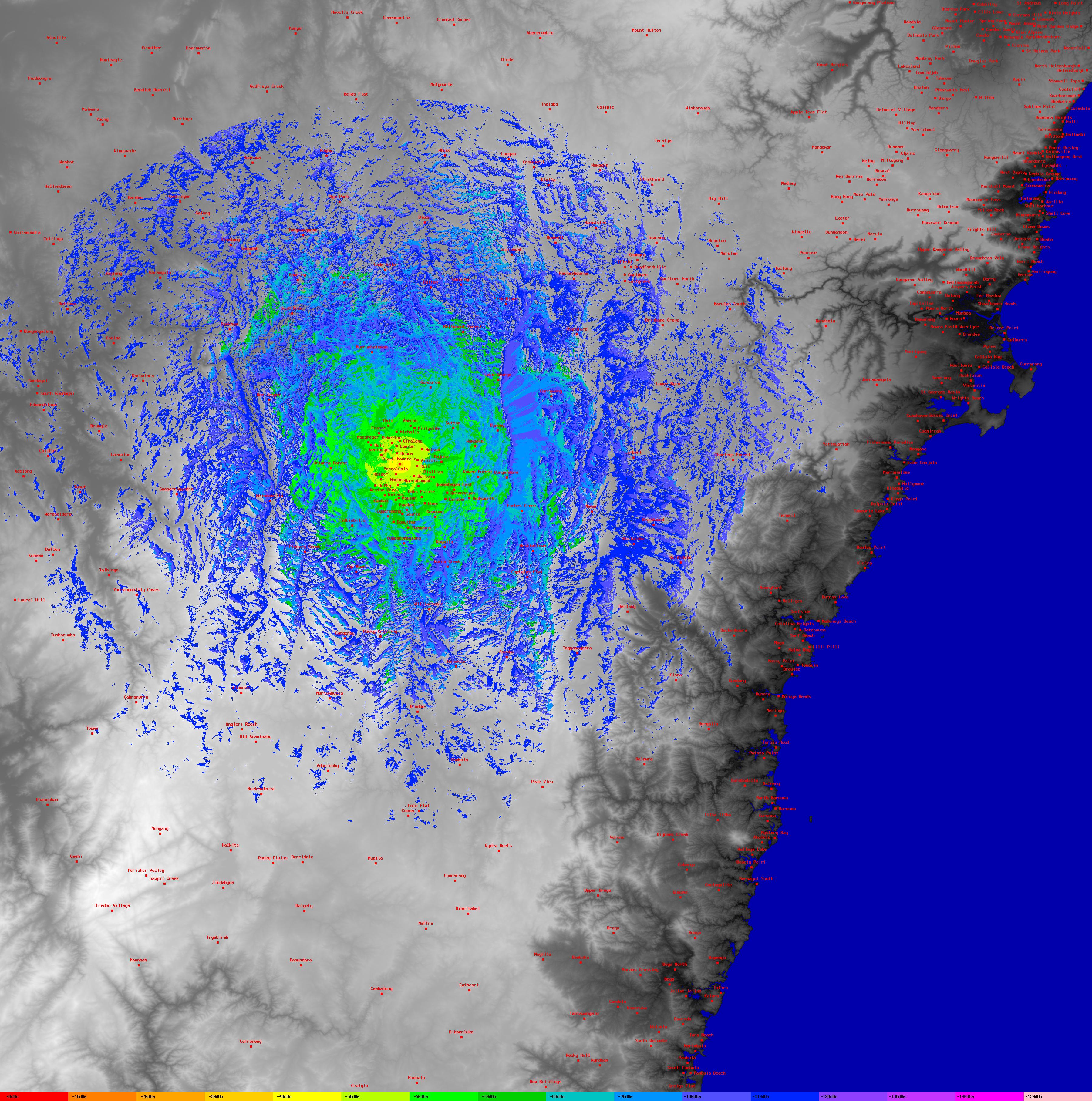
On this page are a few plots of coverage of some of the VK1 repeaters.
See below for links to the software and data.
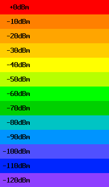
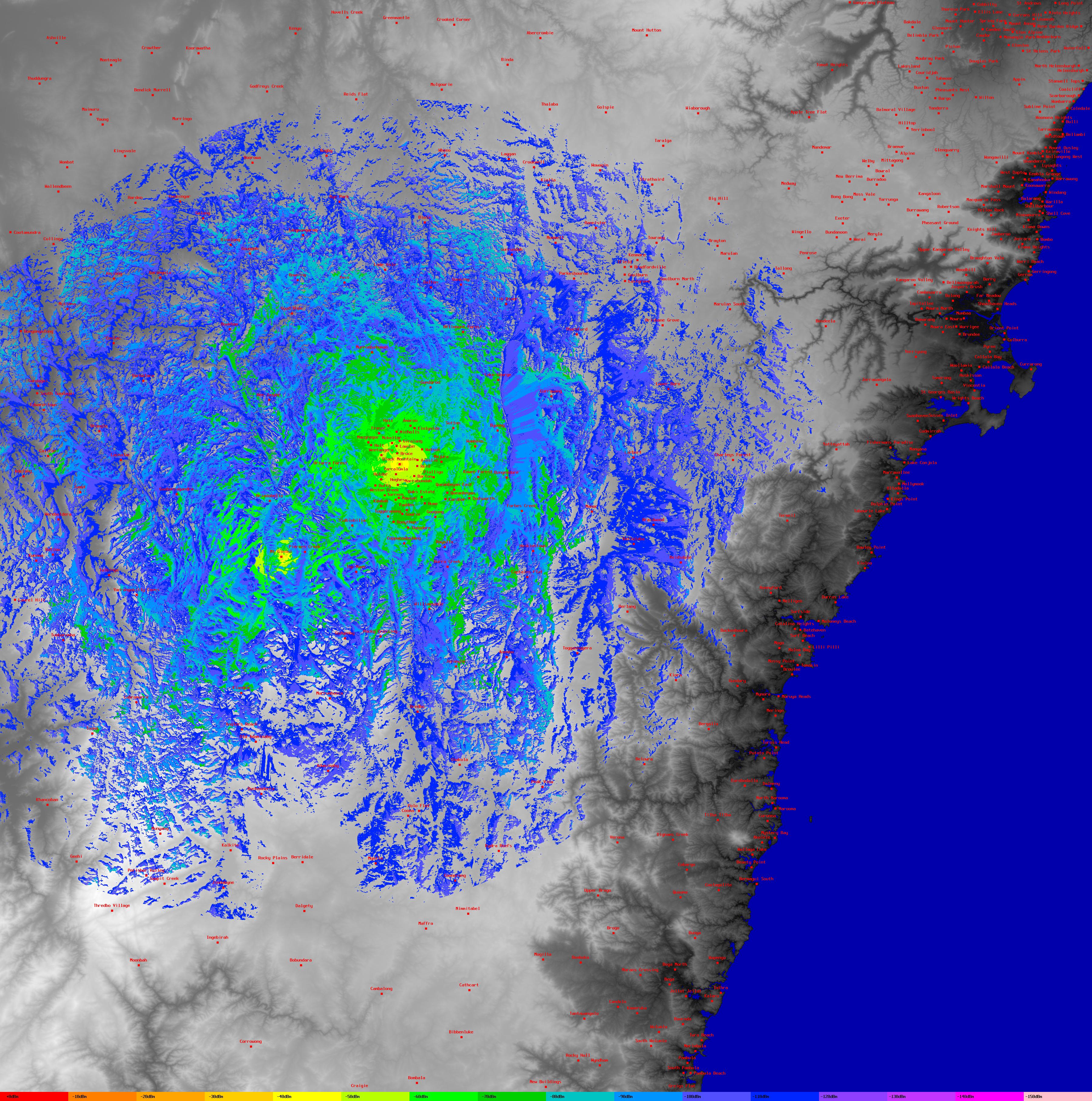
The plots show predicted receive signal strength down to -110dbm for a basic antenna at a height of 2m. Look across the bottom of the images for the key.
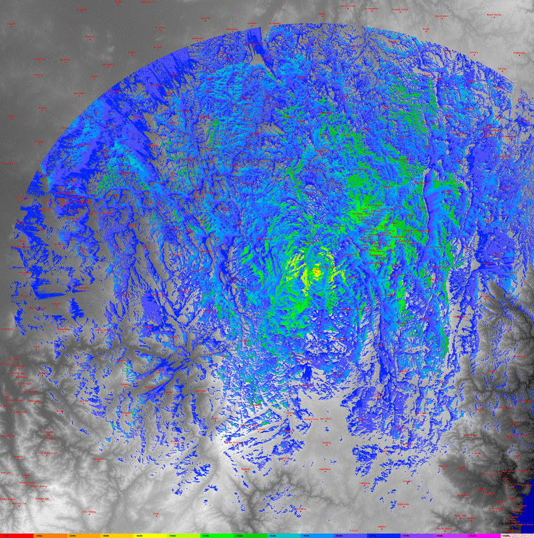
Here is an animated gif of the coverage from Mt Ginini alternating between
VHF (146.950) and UHF (438.050). (900KB gif)
It highlights the differences in coverage of the two repeaters on the same site.
These stripped down plots contain the signal strength data only and are missing place names and topographical features. They are designed to be overlaid, via the KML file onto the maps in Google Earth. If you tilt the display, you can see the coverage painted on the sides of the hills!
These plots are for the Canberra local and Mt Ginini APRS digipeaters.
These plots were generated using SPLAT! by John A. Magliacane, KD2BD.
The SRTM data can be found on the US Geological Survey website in 1 degree by 1 degree "squares". These are the
3 arcsecond (90 meter) resolution DEMS. There currently doesn't seem to be any source of
1 arcsecond (30 meter) resolution DEMS for Australia.
Google Earth/Maps use the same cylindrical projection and datum (WGS84) as the SRTM data so you can drop
a pin in Google Earth/Maps and use that lat/long in the Splat configuration files.
There is also a zipped csv file of Australian suburbs and their lat/long. (120KB zip, accuracy not guaranteed!). This is used to generate the place names on the plot.